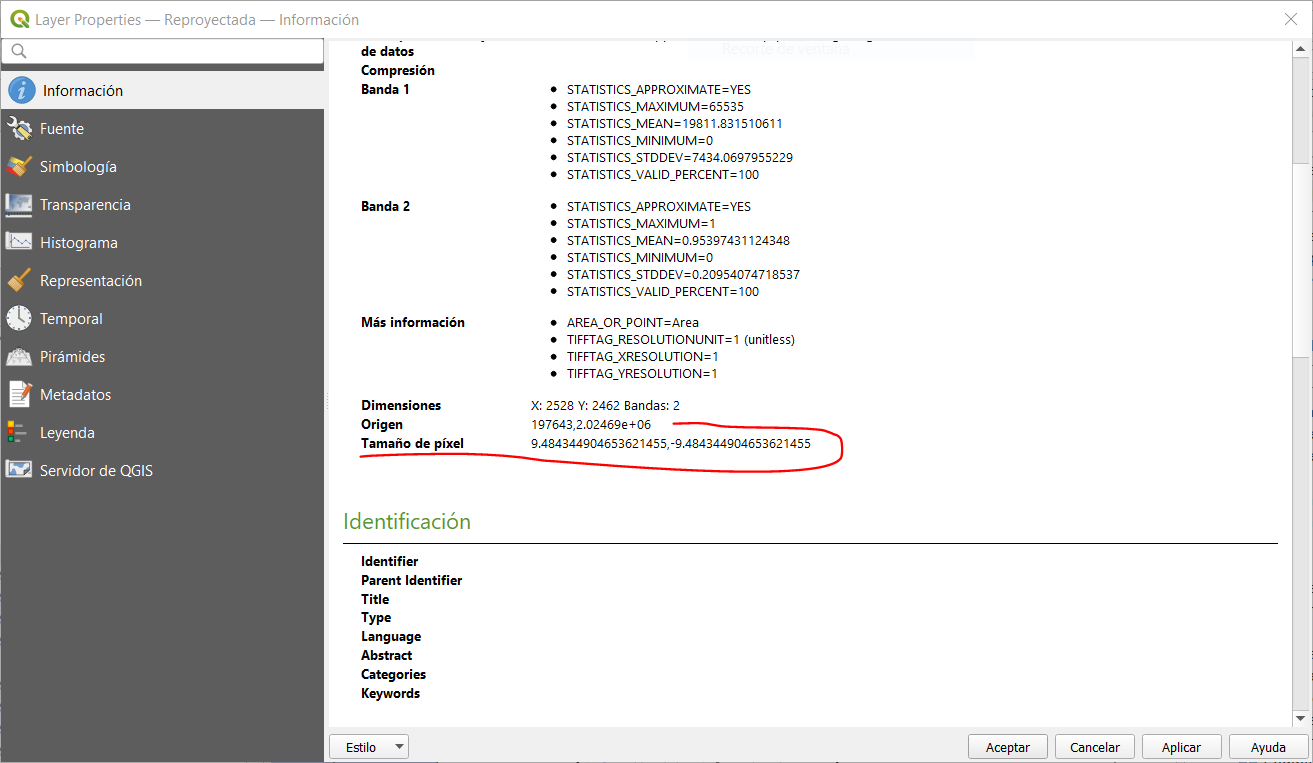
I downloaded a Sentinel-2 image (visible bands + NIR) in high resolution (less than 2500 x 2500 pxls). However, once in QGIS, I noticed that the resolution was 9.48 … X 9.48 … m. and not 10 X 10 m as expected. Is this due to the reprojection of lat / long in UTM? Thank you.
Page 1 / 1
Yep. Sentinel-2 is distributed at 10 meters per pixel in UTM. So if you want to avoid rescaling and reprojection, always download as UTM.
That said, if you are using QGIS, I suggest you try the QGIS plugin:
https://plugins.qgis.org/plugins/SentinelHub/
Ok, but only UTM 3857 is available … and no possibility to delimit an AOI.
Anyway, thanks for the tip regarding the plugin.
Pierre
Reply
Login to the community
No account yet? Create an account
Login with SSO
Login with Saml2 Login with OpenIdConnector
Enter your E-mail address. We'll send you an e-mail with instructions to reset your password.