Hi everyone
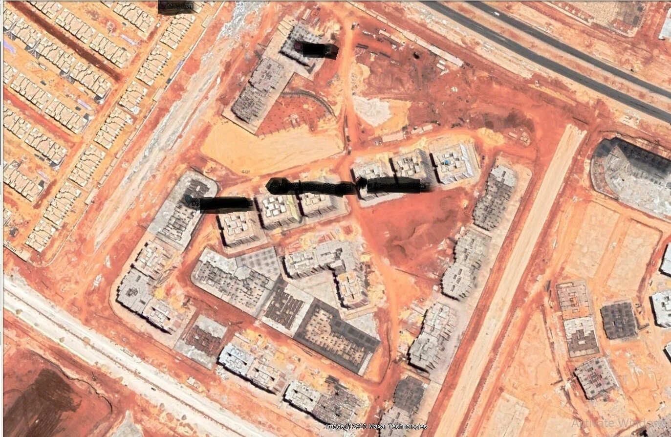
Please advise me how to get a clear image when browsing or monitoring Earth instead of the blurry image.
Sorry for i am a new user.
Thank you
Hello,
The freely available satellite data served by Sentinel Hub are designed to monitor large-scale activities/processes on the Earth’s surface such as agriculture, biodiversity changes, climate and many more… (see more details here for example). The satellites used for these purposes have a maximum resolution of 10 m (Sentinel-2), which may lead to thinking that they are “blurry” compared to aerial or high-resolution images that you are used to with popular navigation/mapping apps.
If you need higher resolution imagery, we currently offer data from the following commercial data providers. However, these come at an extra cost:
• Planet PlanetScope (4 bands, 3 m resolution)
• Planet Skysat(4 bands, 0.5m resolution)
• Airbus Pleiades (5 bands, 0.5 m – 2 m resolution)
• Airbus SPOT (5 bands, 1.5 m – 6 m resolution
• Maxar WorldView (5 bands, 0.5 m – 2 m resolution)
See the webinar on this topic here.
Thank you so much.
Is there a possibility to have a bit clear image as the following sample? Noting that I already have a paid account ’ Exploration Account’.
Note: My ‘Exploration Account’ is for both ‘EO Browser’ and ‘Sentinel Hub’
To purchase high-resolution Commercial Third-Party Data, you can go through your Dashboard. I would recommend that you search for data in EO Browser (see tutorial) first to see the availability of archives over your area of interest.
This topic was automatically closed 60 days after the last reply. New replies are no longer allowed.
Reply
Login to the community
No account yet? Create an account
Login with SSO
Login with Saml2 Login with OpenIdConnectEnter your E-mail address. We'll send you an e-mail with instructions to reset your password.