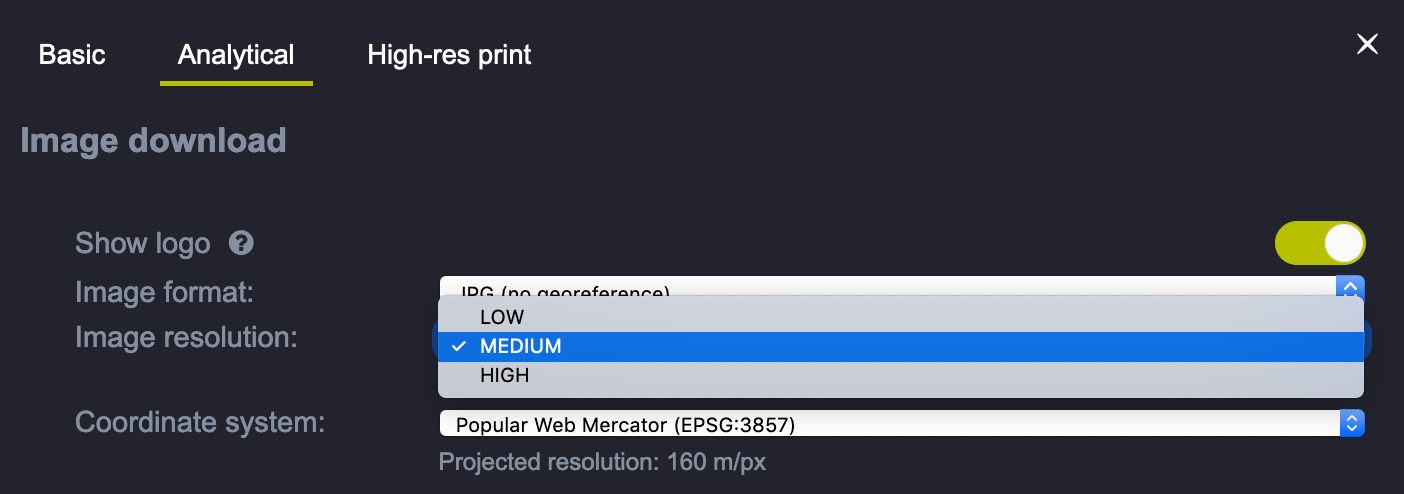
Hi. I am trying to download images in the analytical geotiff format at high resolution. If I try to download the same Area of Interest for instance with S2 L2A and S3 OLCI under the Coordinate system i ahve for bothe Projected resolution: 40 m/px. If I download such images and open them with a Gis Software I get the same resolution. Since the spatial resoultion of S2 and S3 are very different I wonder how could have the real spatial resolution for each satellite image?

Real resolution
Login to the community
No account yet? Create an account
Login with SSO
Login with Saml2 Login with OpenIdConnector
Enter your E-mail address. We'll send you an e-mail with instructions to reset your password.