Hi Guys
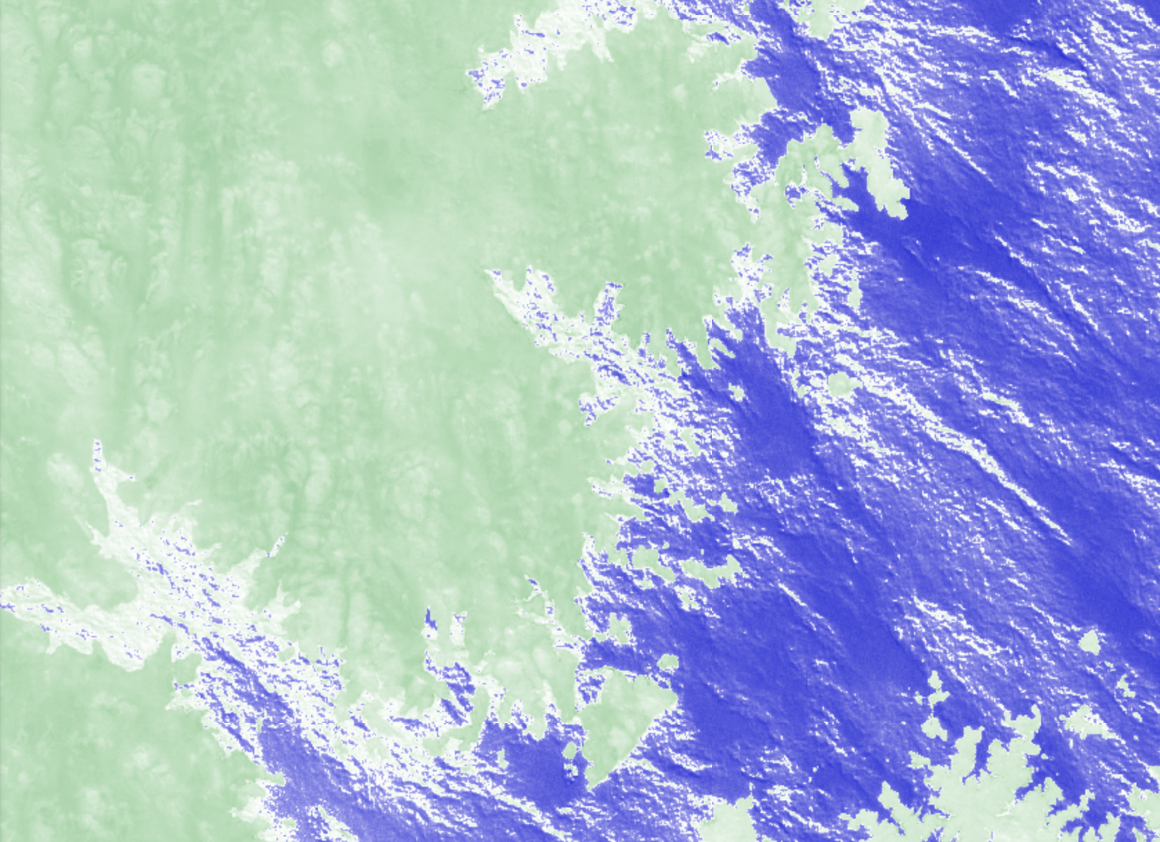
I am trying to learn to work on sentinel-hub,
I have a case where I want to know the water level is down in a lake,
When I take pictures of a lake at different times, using NDWI, I see white color,
Does this reflect the receding of water from this region at this time?
I mean the white color on the ends in these pictures as an example: