
WcsRequest NDVI output as JSON

  • April 17, 2024
  • 6 replies
  • 0 views

Hi there,
I was wondering how to get the output of a WcsRequest as json instead of PNG, JPG and so on.
This is the request code:

wms_bands_request = WcsRequest(
data_collection=DataCollection.SENTINEL2_L2A,
data_folder='test_dir',
layer='NDVI',
bbox=betsiboka_bbox,
time=('2017-12-16', '2017-12-31'),
resx='60m',
resy='60m',
image_format=MimeType.JSON,
config=config
)

By following the doc, I’ve been able to understand that sentinelhub.constants.MimeType.TIFF it also provides JSON (by here).

I got this error (400 bad request):
Server response: “Format image/png does not support sample type FLOAT32.”

When it comes to Output Image Formats I clearly see JSON as possible choice, but can’t figure out how to make it works actually.

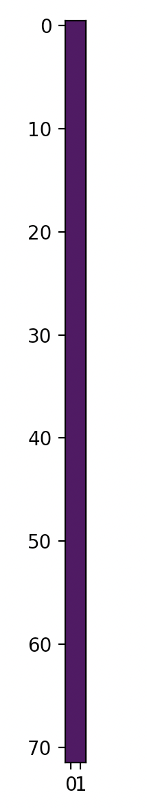
Let’s consider the “NDVI” problem. If I try to plot the response, I just got this image as follow, instead of all the NDVIs from the image. The original image is based on BANDS-S2-L1C layer and is just ‘normal size image’, like a country image (I cannot post 2 images as new user, sorry).

I would also suggest to make the output vector format doc more precise, just in case (or maybe I’m missing something!)
Thank you!

6 replies

Hi! Thanks for your reply.

gmilcinski:

You can obviously make an API request yourself in Python and get a GeoJSON

That’s exactly what I would like to achieve! I don’t need to plot a NDVI map, but I definitely need a GeoJSON and I can’t figure out how to get as output this GeoJSON instead of a PNG inside a WcsRequest…


  • Known Participant
  • April 17, 2024

I am not sure I understand, what you would like to do.

The “vector output” option was added to WCS as a “test feature” a while ago and remained there as it is convenient for some users (typical use-case is creating a zoning map of an agriculture parcel based on thresholded NDVI). The feature is there and works, but it was not developed further as it is quite a niche use-case. This is also why the sentinelhub-py libraries do not support it out-of-the-box. You can obviously make an API request yourself in Python and get a GeoJSON.

If however you are interested in creating a histogram of NDVI values over specific area, I would recommend to use Statistical API, which was designed exactly for this purpose - you will get min/max/mean/standard deviation values and, if you add BINS parameter, also distribution. See implementation in sh-py:

sentinelhub-py.readthedocs.io

Sentinel Hub Feature Info Service (FIS) — Sentinel Hub 3.1.0 documentation


Ok but what is the correct sentinelhub.constants to use in order to be able to use “NDVI” as layer?
If I set:
layer=‘NDVI’

instead of (for example):
layer=‘BANDS-S2-L1C’

I get this error: ““Format image/png does not support sample type FLOAT32.””
But “NDVI” is a possible layer to choose…
Not talking about the GeoJSON problem right now, just how to get the NDVI layer properly…


  • Known Participant
  • April 17, 2024

I think you will have to construct a WCS request yourself. It should not be too difficult…
I somehow doubt that we will add this feature to sh-py soon as it is an experimental one.


image_format=MimeType.TIFF_d32f

This is what I was looking for, found in another question here (I’ve been lucky honestly xD)
Thank you!


  • Known Participant
  • April 17, 2024

Not sure exactly what you want to achieve at this point.
If you want to get actual NDVI values, you can set-up a layer as shown here:

e858d96b2d4601f1ebd0b61b557c5c16ccb1b57a.pngsentinel-hub.com
d3714e73b38a87afa3c31502a6696052a7395163.png

FAQ

Check our list of frequently asked questions and answers on Sentinel Hub services.